News event: 2026-10-23. Updated: October 26, 2026.
A new NASA Earth Observatory comparison shows that the 2026 El Niño has developed a Pacific Ocean pattern resembling the powerful event of 1997. Published on October 23, the analysis draws on a 35-year record of satellite measurements of sea-surface height to track the buildup of warm water along the equator.
What satellites are measuring
El Niño is associated with unusually warm surface waters in the central and eastern tropical Pacific. Because warmer water expands, satellite altimeters can detect the resulting changes in ocean height. NASA compared measurements from October 13, 1997, with those from October 12, 2026, finding elevated sea levels stretching toward South America in both periods.
The earlier observations came from the TOPEX/Poseidon mission, while the newer map used Sentinel-6 Michael Freilich data. Scientists remove long-term trends and seasonal effects to better isolate changes associated with El Niño and other short-term conditions.
Why a similar map does not guarantee the same weather
NASA scientist Josh Willis said the 2026 event developed more abruptly than the 1997–98 episode. He also noted that its ocean pattern currently appears comparable and could grow even stronger. That is an assessment of evolving conditions, not a final ranking of El Niño events.
Ocean temperatures influence the atmosphere, but each El Niño unfolds differently. Where warm water accumulates, how winds respond and the timing of seasonal weather can change the impact on rainfall and storms. The strong 1997–98 event brought notable precipitation to parts of the United States, but it would be misleading to promise identical effects in 2026.
The long satellite record helps researchers test those comparisons with measurements rather than memory. Forecasters will continue monitoring ocean height, temperatures and atmospheric circulation as the event develops.
Sources and verification
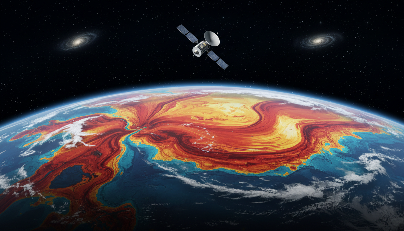
Featured image: original AI-generated conceptual illustration; not a photograph of the reported event.
Context matters. Read about our editorial standards and corrections policy.

Join the conversation